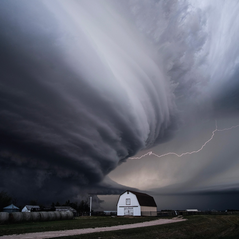
Saving Lives & Property…
NOAA’s National Severe Storms Laboratory serves the nation by working to improve the lead time and accuracy of severe weather warnings and forecasts in order to save lives and reduce property damage. NSSL scientists are committed to their mission to understand the causes of severe weather and explore new ways to use weather information to assist National Weather Service forecasters and federal, university and private sector partners.
At NSSL, our basic and applied research focuses on understanding severe weather processes, developing weather observation technology, and improving forecast tools, with emphasis on:
NSSL News

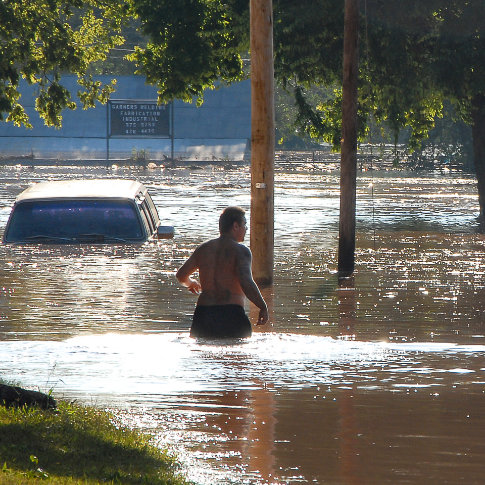
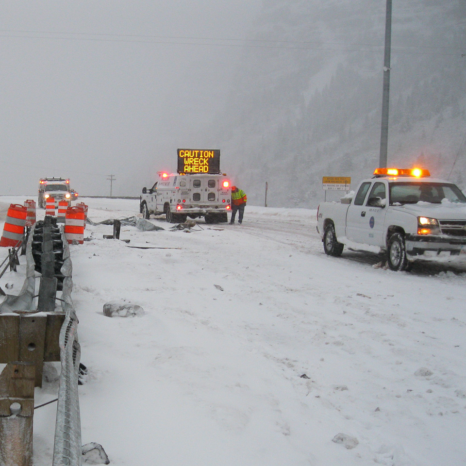
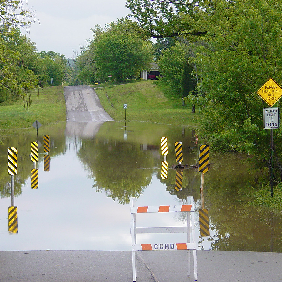
SUDDEN DANGER: The Science and Stakes of Flash Flood Forecasting
Flash flooding is the deadliest hazard associated with severe thunderstorms and are one of the hardest to predict. NSSL is hard at work developing new tools and technologies to equip forecasters to issue better, faster warnings and keep you safe.

Weather Safety at the World Cup: New NOAA Weather Tool Helping Keep Fans Safe
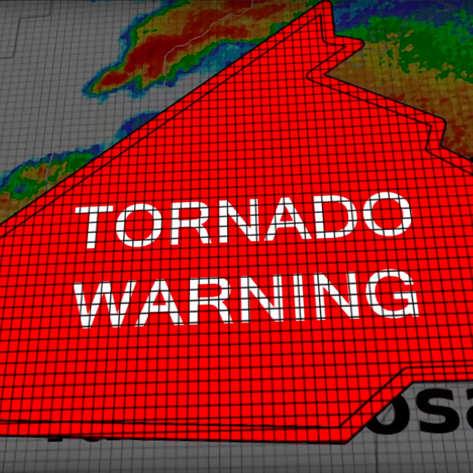
From the biggest stages in the world to the smallest local gatherings and everything in between, weather safety depends on one thing: time. WoFS is giving that time back to the forecasters and decision makers who need it most.

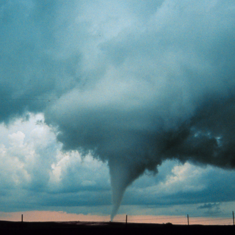
LIFT Project Captures Elusive Near-Ground Wind Data on Nebraska Tornadoes
Researchers from NSSL's LIFT project captured a complete LiDAR data set on near-ground winds for a strong tornado in SE Nebraska.

SCIENCE IN THE DAMAGE PATH
On Thursday, April 23, 2026, a violent tornado tore through Enid, Okla. As the storm dissipated and the skies cleared, NSSL jumped into action.

CLOSE ENCOUNTERS: LIFT campaign seeks unprecedented tornado and hail data
NSSL's LIFT project seeks to better understand the structure of tornadoes and other severe weather hazards and how they form by gathering vital, yet difficult-to-obtain observations in close proximity to tornadoes and extreme hail.

Storm ready: NOAA’s new mobile radar fleet bridges gap between research and weather safety
NSSL's three cutting-edge mobile weather radars will allow NOAA researchers to deploy research-grade technology to the front lines of tornadoes, wildfires, hail storms, flash flooding and severe wind events, significantly expanding critical insight into hazardous weather threats in real time.
NSSL Video
Warn-on-Forecast
The Warn-on-Forecast System, a revolutionary new forecasting tool being developed by NOAA’s National Severe Storms Laboratory, seeks to equip forecasters with critical information between watches and warnings to allow them to offer longer lead times in the face of severe weather and tornadoes. Learn more →
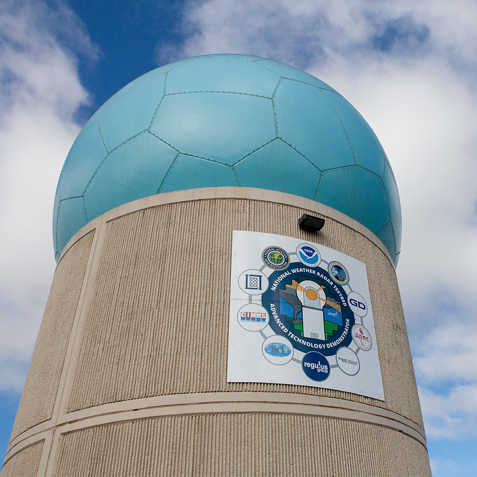
Phased Array: The Weather Radar of the Future
NEXRAD, the main radar system for weather forecasting, is nearing the end of its lifespan, prompting the need for a replacement. The Radar Next program aims to enhance radar technology with rapid updates and flexible scanning. Phased array technology enables quicker atmospheric scans, improving storm monitoring and warning capabilities. Learn more →