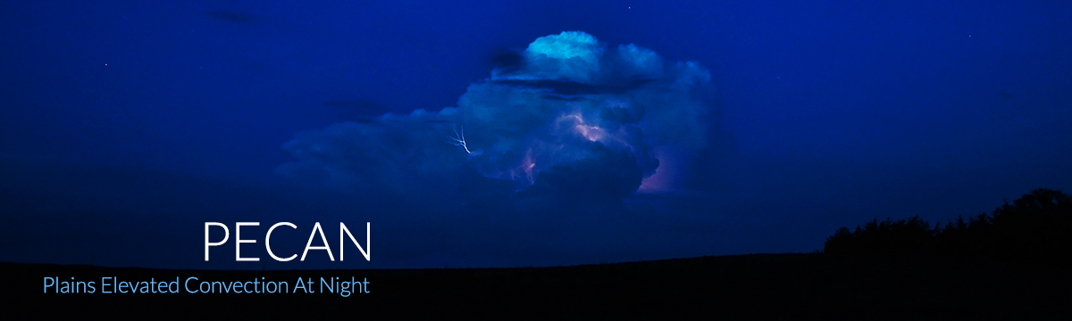
PECAN: Plains Elevated Convection at Night
June 1–July 15, 2015
Plains Elevated Convection At Night (PECAN) is a large, intensive field project to collect data before and during nighttime thunderstorms in the arid western Great Plains from June 1 to July 15, 2015. Scientists hope to learn what triggers these storms, how the atmosphere supports their lifecycle, and how they impact lives, property, agriculture and the water budget in the region.
PECAN research will impact the nation’s forecasting and numerical weather prediction capabilities through collaborative efforts between the academic community and NSSL. The effort is highly relevant to NOAA’s goal to assess the increasing dependence of storm-scale prediction on numerical modeling, as in the Warn on Forecast initiative.
The PECAN (Plains Elevated Convection at Night) campaign is a multi-agency project sponsored by the National Science Foundation, NOAA, NASA, and the Department of Energy.
NSSL's Role
NSSL researchers are members of the PECAN science steering committee to offer NSSL research expertise, observing facilities, and forecast support. Conrad Ziegler is the inaugural NSSL member of the steering committee, later augmented by Dave Turner, who has special expertise in remote profiling, one of several critically important aspect of the PECAN observations.
NSSL researchers are also serving as lead investigators and co-investigators on several NSF grants and a NOAA/Aircraft Operations Center (AOC) grant. The AOC proposal brings a NOAA P-3 aircraft into PECAN. NSSL staff will be on board, providing critical scientific inputs to the AOC flight crew during all PECAN flight missions. We are involved both during the PECAN field data collection phase, and also in the post-field-phase data analysis and research.
To plan for rapid deployments during PECAN, NSSL researchers developed a list of 13,000 “virtual” candidate sites for parking mobile radars and other mobile ground facilities during PECAN, using a unique computer-based Graphic Information Systems (GIS) approach. Each day, coordinators will select appropriate sites in a specific target field operations area from the virtual site data set, based on site location, road condition, visible site images (GEO and Streetview), and radar scan blockage map images. Special tools have been developed to allow the coordinators to interactively peruse the data set and choose the best combination of sites for the mobile facility network observations.
NSSL researchers will provide field-phase leadership in the following areas:
- Operations Center daily mission selection team chair
- Operations Center daily mission selection team MCS mission representative
- Operations Center facility coordinators of PECAN Integrated Sounding Arrays (PISA), mobile radars, and mobile sounding/mesonet systems (OC)
- Field team leaders of mobile radar, mobile sounding systems, and NOAA P-3 aircraft
NSSL provides direct and indirect field forecasting support services in the following areas:
- Ex-officio member of field forecast team provides liaison relationship with steering committee
- Travel support for two retired SPC senior forecasters to participate as PECAN field forecasters. PECAN thus represents the first such direct (immersive) field involvement of NOAA/SPC forecasters supporting a field experiment conducted anywhere to our knowledge.
An updated, more capable version of NSSL's web-based Probabilistic Hazard Information (PHI) forecast tool is available for use by the PECAN field forecasters. The PHI tool will be served by lab staff in real-time to support the preparation of daily PECAN forecasts. The PHI tool provides a basic imitation of several features of the SPC’s NMAP forecast software, while allowing ready server access via a web browser on the Internet. NSSL provides scientific expertise in helping design a PHI application to help PECAN field forecasters anticipate development of atmospheric gravity waves known as “bores” .
PECAN Collaborators
PECAN partnering institutions include:
- NSSL
- NOAA Aircraft Operations Center (AOC)
- NASA-Langley
- Center for Severe Weather Research
- University of Wyoming
- NCAR
- University of Oklahoma
- University of Wisconsin
- Colorado State University
- North Carolina State University
- University of Illinois
- University of Alabama in Huntsville
- Millersville University
- Howard University
- Naval Postgraduate School
- Iowa State University
- University of Manitoba (CA)
- University of Leeds (UK)
- University of Hawaii