1NOAA/NSSL and
UW-Madison/CIMSS
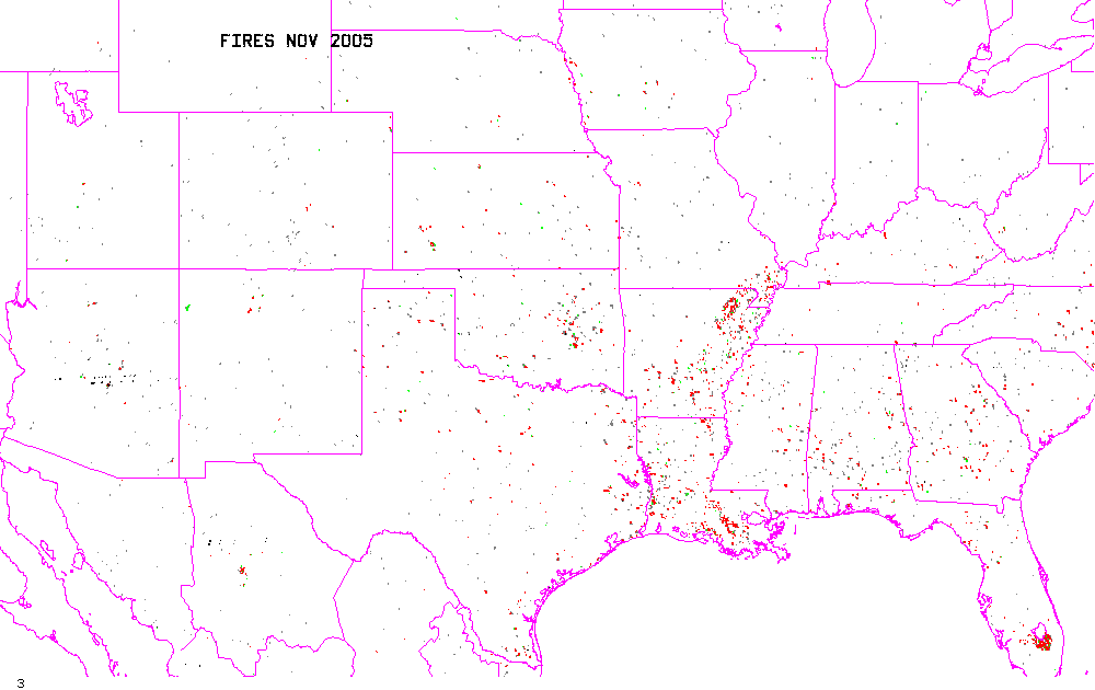
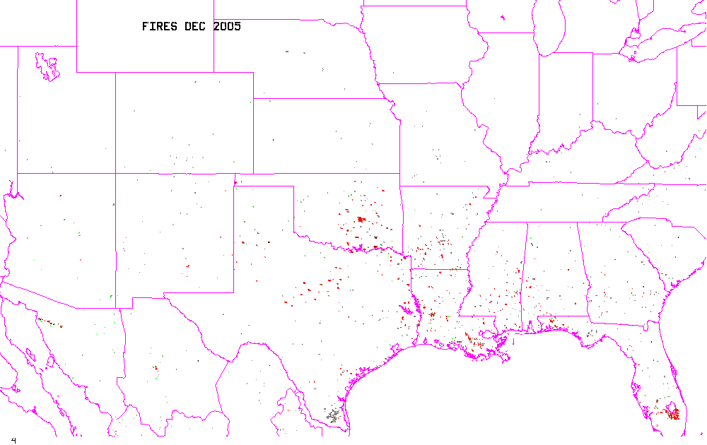
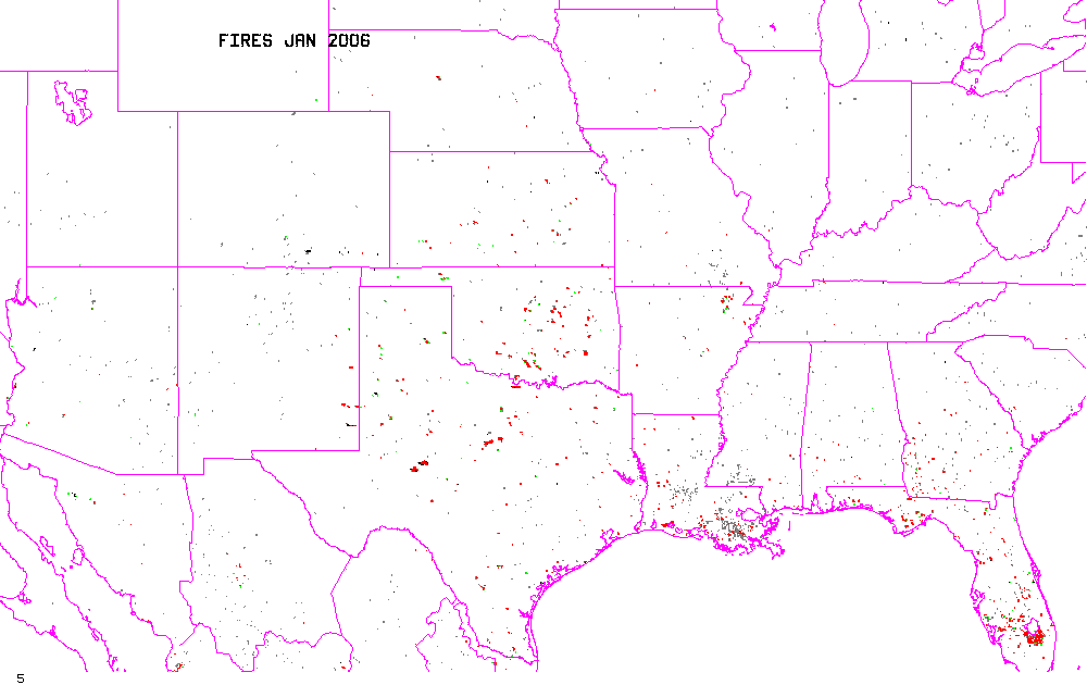
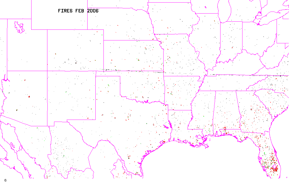
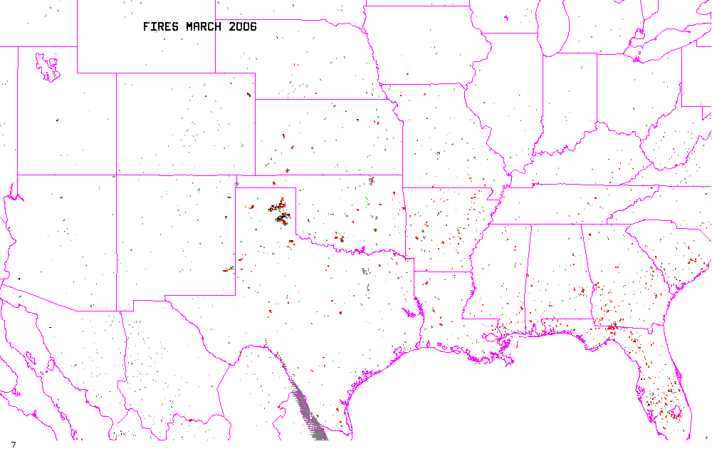
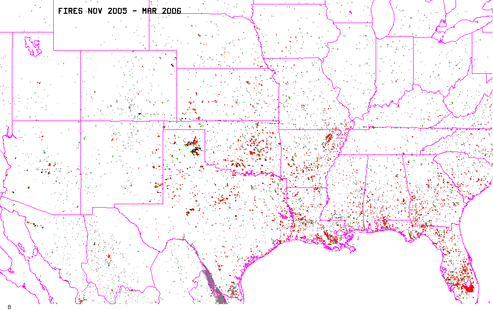
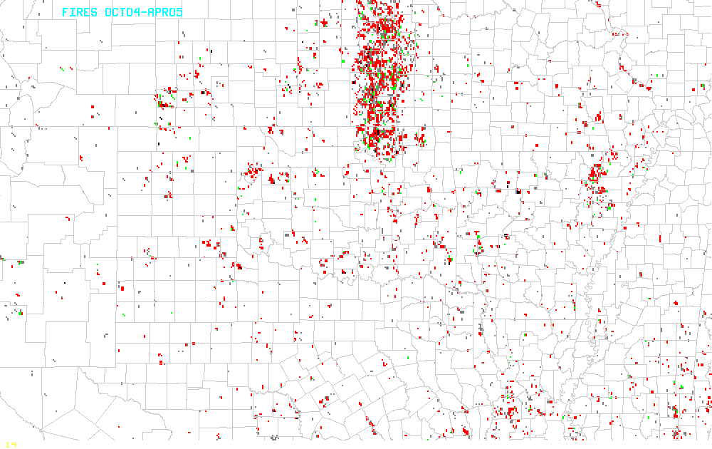
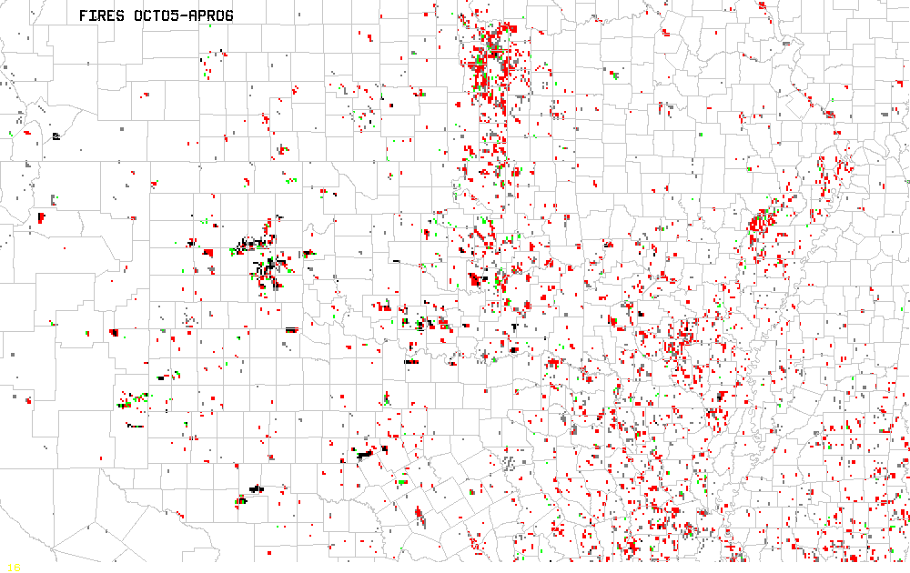
Extremely dry soil, combined with periodic episodes of strong winds,
unseasonable warmth, and very low relative humidity have lead to the
high risk of wild-fires across portions of the Southern Plains from
late
December 2005 through mid March 2006. Numerous grass fires have
burned
in the region, causing loss of property and life in a few cases.
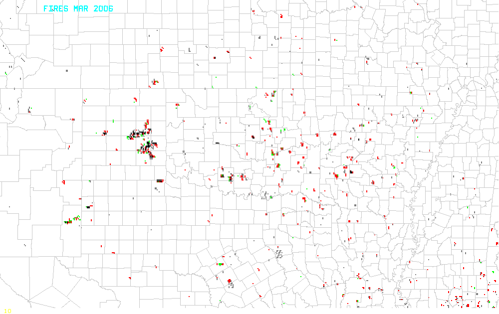
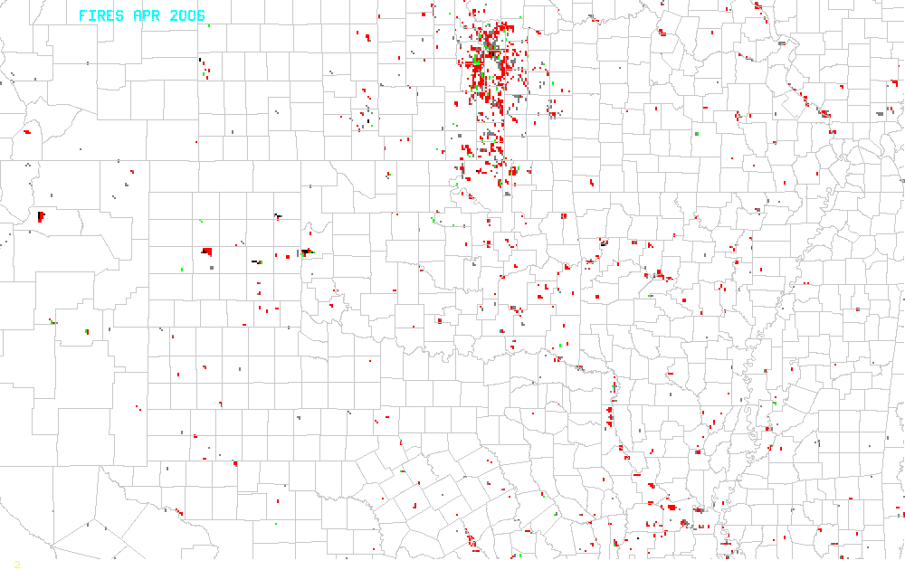
This purpose of this web site is to show the spatial extent of the
fires as mapped by satellite, and to provide comparison of surface
conditions which may have been factors in the observed fire patterns.
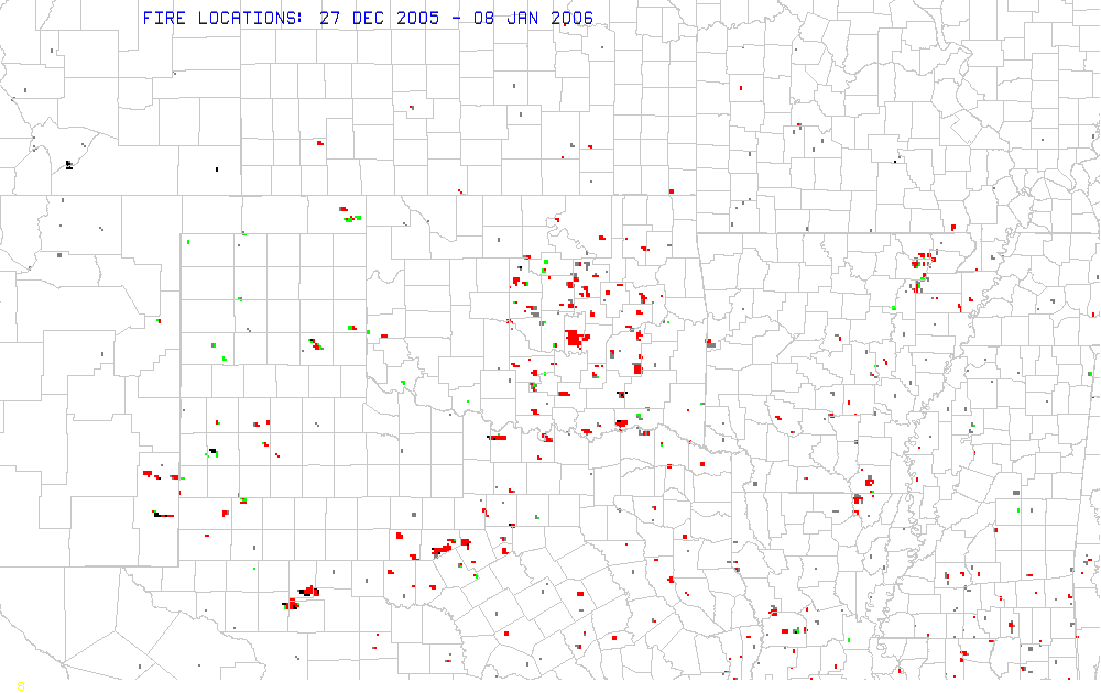
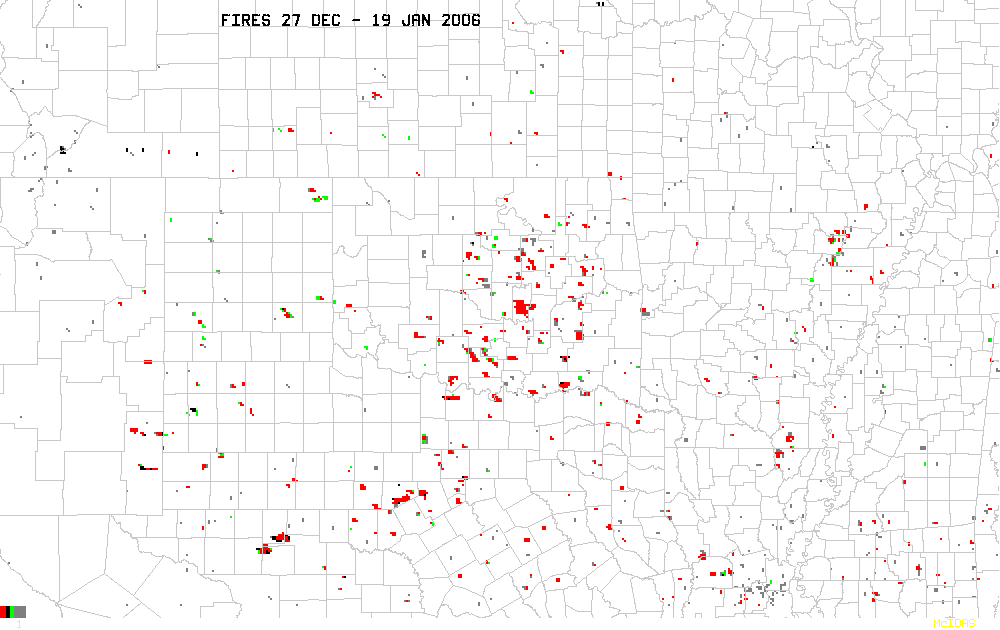
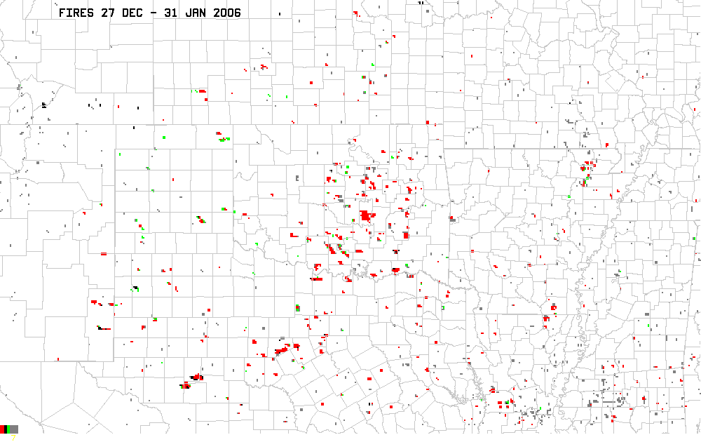
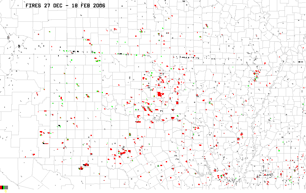
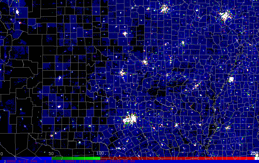
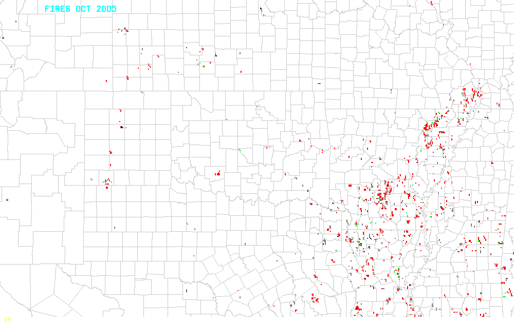
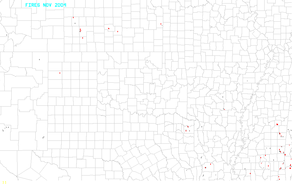
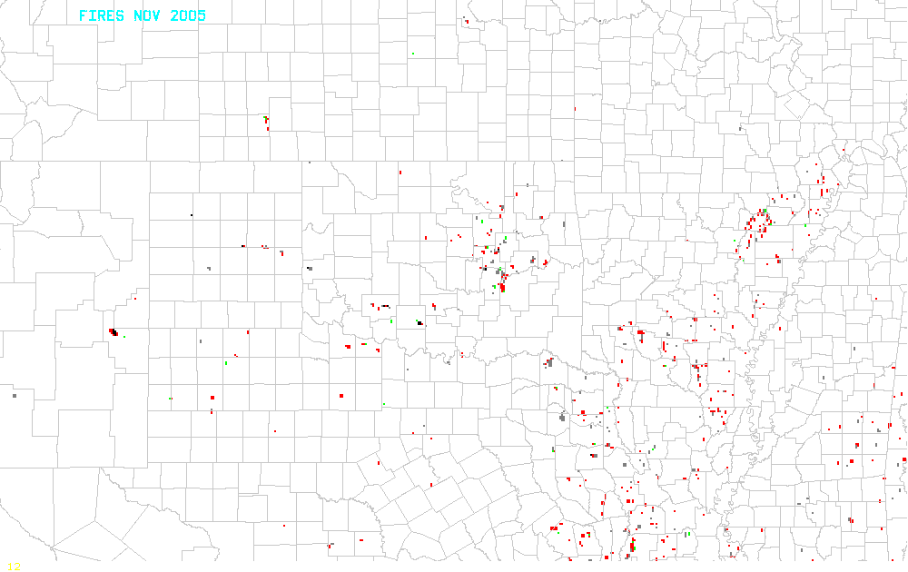
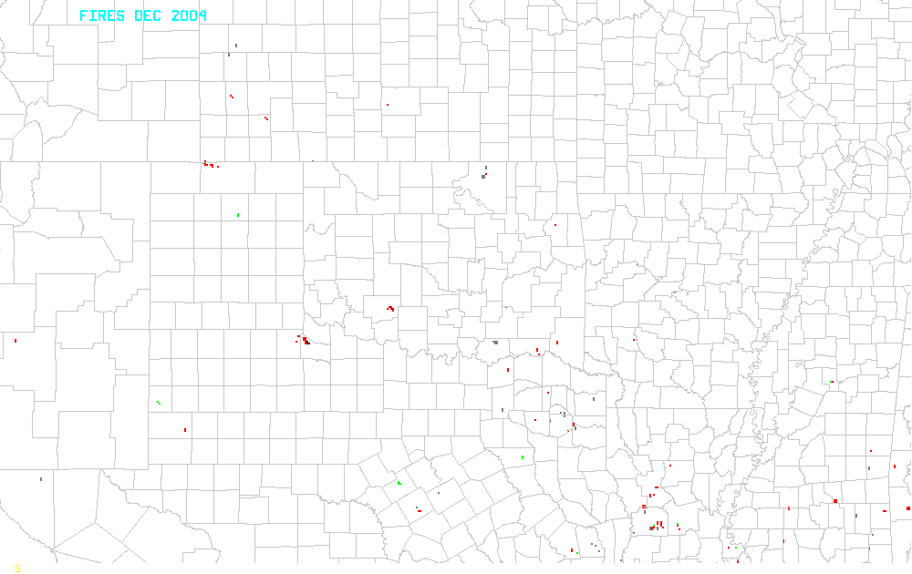
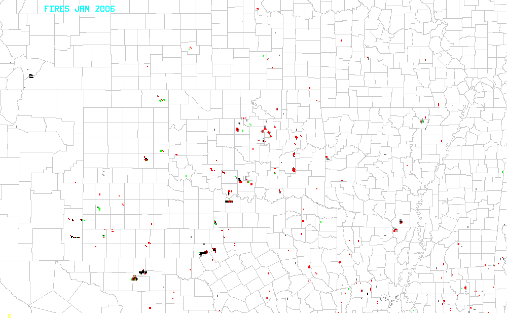
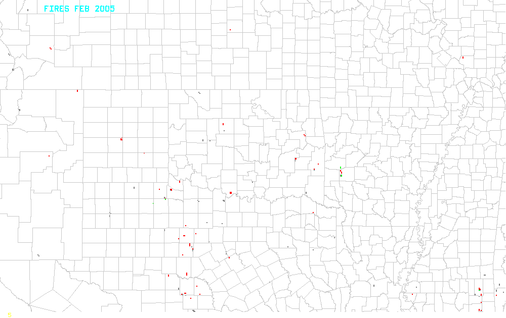
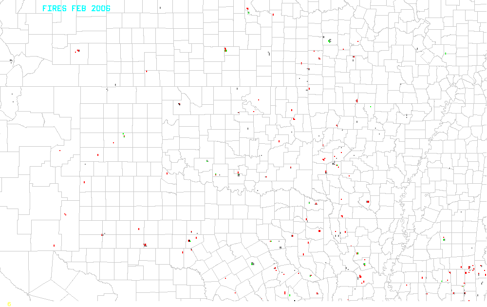
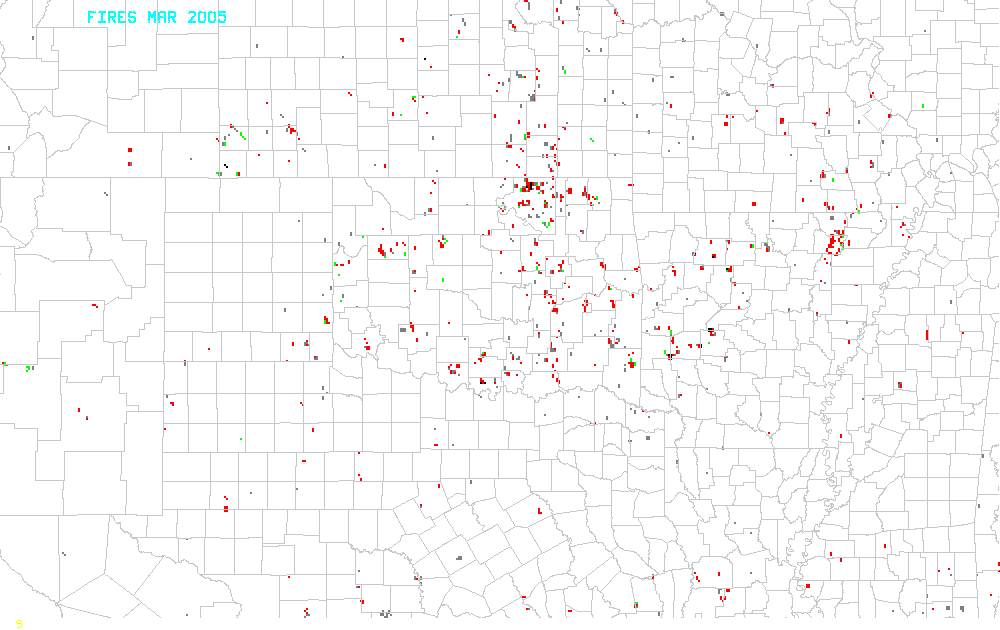
Fire locations are from the GOES
Automated Biomass Burning Algorithm (ABBA)
produced at the Cooperative Instutute
of Meteorological Satellite Studies (CIMSS),
University of Wisconsin-Madison. They are accumulated hourly and
daily for display at the NOAA/SPC. For purposes
of this study, fire locations have been accumulated over a period of
days to compare with surface vegetation conditions, soil moisture, and
population maps.
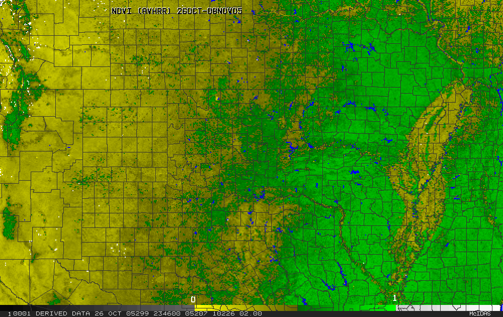
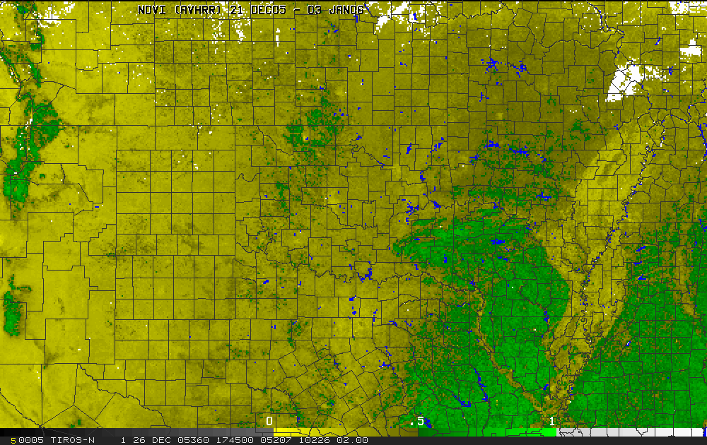
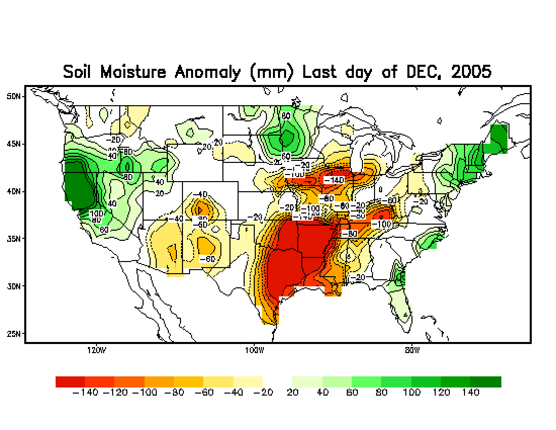
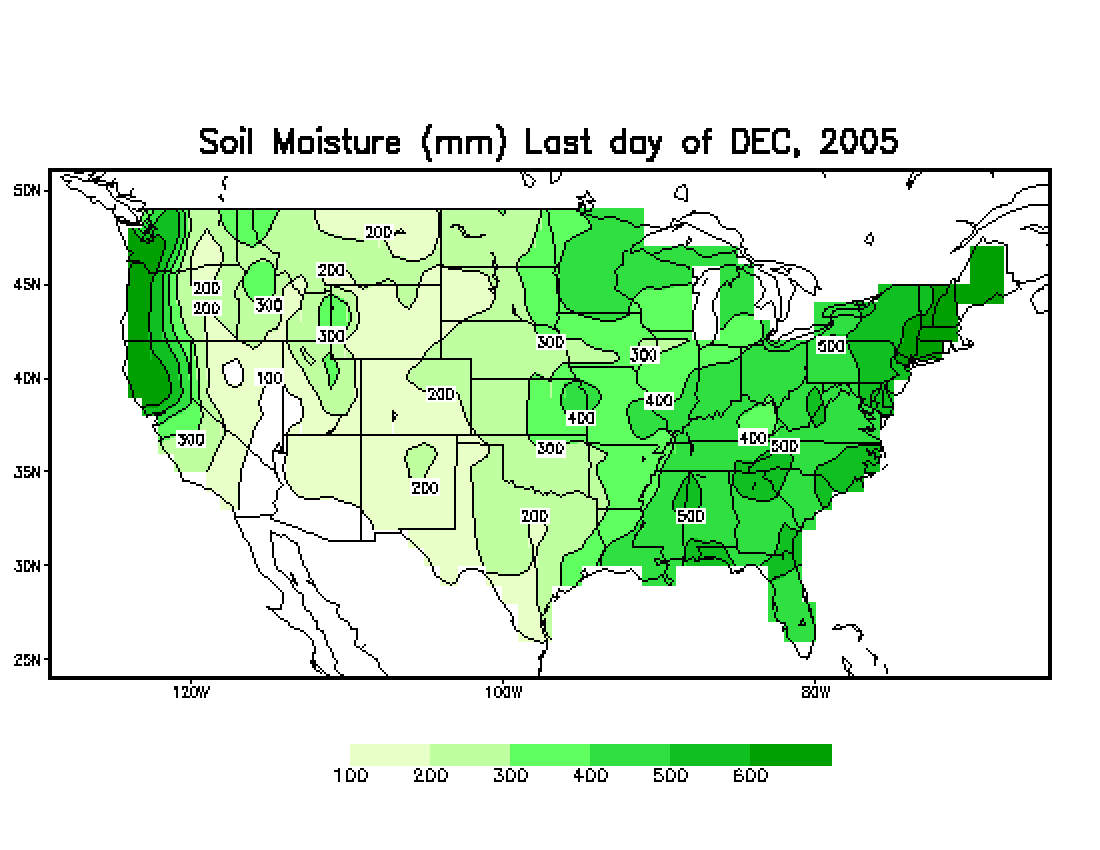
Table 1 and Movie 1 compare images of fire locations, vegetation
index (NDVI as derived from MODIS), soil moisture
estimates (from the
NOAA Climate Prediction Center),
and population densities. The evolution of modeled soil moisture
can be viewed in Movie 2. Fire locations on each individual day
are available in Movie 3.
Texas panhandle fires of 12 March 2006
Examine the smoke plumes from radar and fire locations from satellite
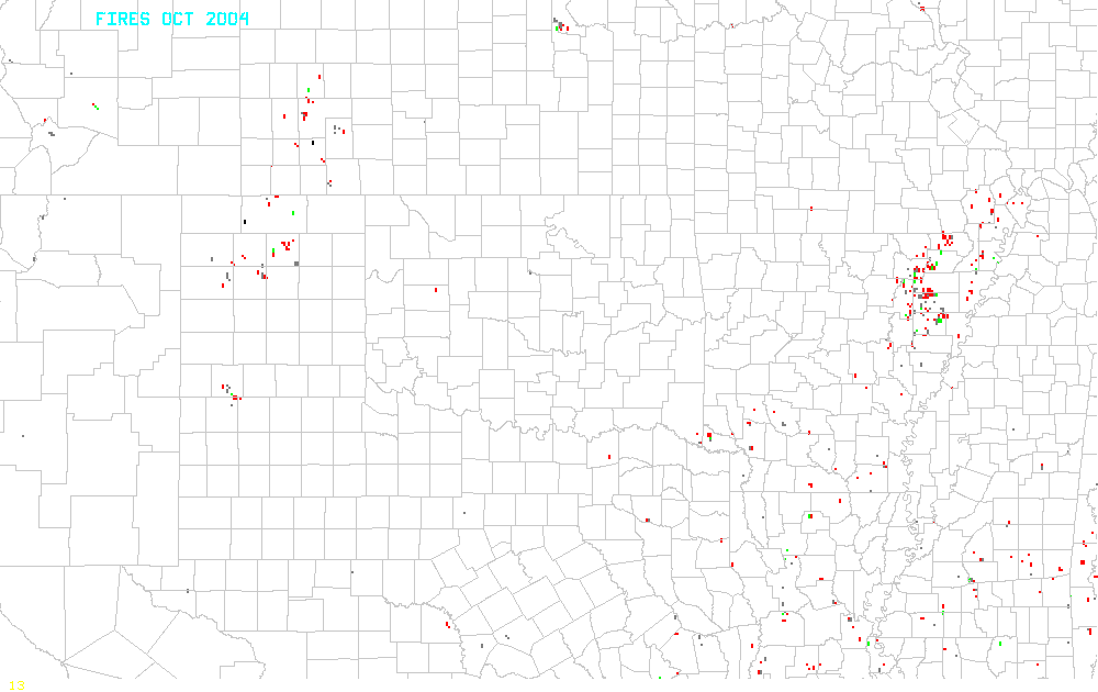
| 2004-2005
season |
2005-2006
season |
|
| Oct |
X |
X |
| Nov |
X |
X |
| Dec |
X |
X |
| Jan |
X |
X |
| Feb |
X |
X |
| Mar |
X |
X |
| Apr |
X |
X |
| Total |
X |
X |
Return to CIMSS
(UW-Madison)
or NSSL (NOAA/NSSL).
Last update was 08 June 2015. Feedback.