NSSL Projects
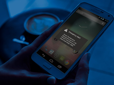
NSSL researchers work on a variety of projects to increase understanding and improve forecasts and warnings for severe weather to help save lives and property.
Improving Severe Weather Warnings & Forecasts
FACETs
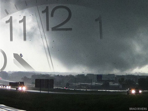
Forecasting a Continuum of Environmental Threats: a proposed next-generation severe weather watch and warning framework that is modern, flexible, and designed to communicate clear and simple hazardous weather information to serve the public.
HWT
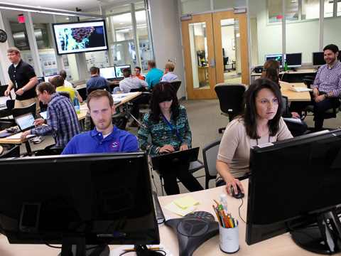
The NOAA Hazardous Weather Testbed, a joint project of the National Weather Service and NSSL, provides a conceptual framework and a physical space to foster collaboration between research and operations to test and evaluate emerging technologies and science for NWS operations.
MRMS
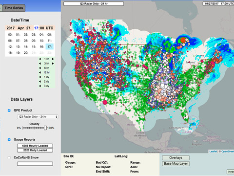
Multi-Radar, Multi-Sensor: The MRMS system was developed to produce severe weather and precipitation products for improved decision-making capability to improve severe weather forecasts and warnings, hydrology, aviation, and numerical weather prediction.
PHI
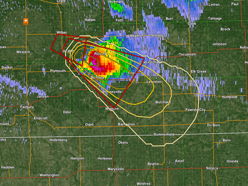
Probabilistic Hazard Information (PHI) is a storm-based product that conveys motion, timing, and likelihood of severe weather hazards (tornadoes, wind, hail, and lightning). PHI is derived from machine learning algorithms, and has the ability to provide additional lead time ahead of the warnings.
Warn on Forecast
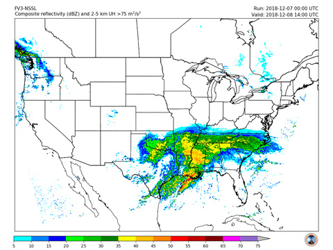
The Warn on Forecast research program is attempting to increase tornado, severe thunderstorm, and flash flood warning lead times by using ultrahigh-resolution computer models that will predict specific weather hazards 30-60 minutes before they form.
Increasing Understanding of Severe Storms
CAMS
Recent advances in computing technology have enabled the use of numerical weather prediction models with high enough resolution to adequately depict individual thunderstorms across very large areas such as the entire continental United States. These convection-allowing models, or CAMs, are extremely valuable to forecasters because they provide information on storm types, which are strongly related to expected hazards.
VORTEX-SE
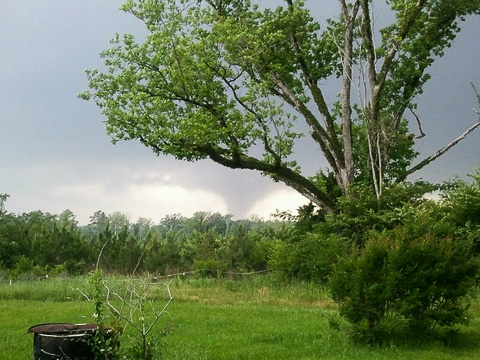
The Verification of the Origins of Rotation in Tornadoes EXperiment-Southeast brings together meteorologists and social scientists in a program looking at conditions that produce tornadoes in the U.S. Southeast. This experiment not only looks at tornadic weather, but also studies the way forecasters warn for tornadoes, and how the public receives and responds to forecast information.
Improving Radar Technology & Capabilities
ATD
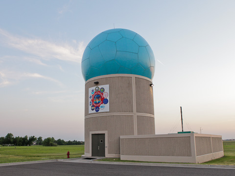
Radar research at the NOAA National Severe Storms Laboratory takes another step forward. Installed at the National Weather Radar Testbed facility, the Advanced Technology Demonstrator, or ATD, is the first full-scale, S-band, dual-polarization phased array radar built from the ground up and designed specifically for use as a weather radar.
mPING
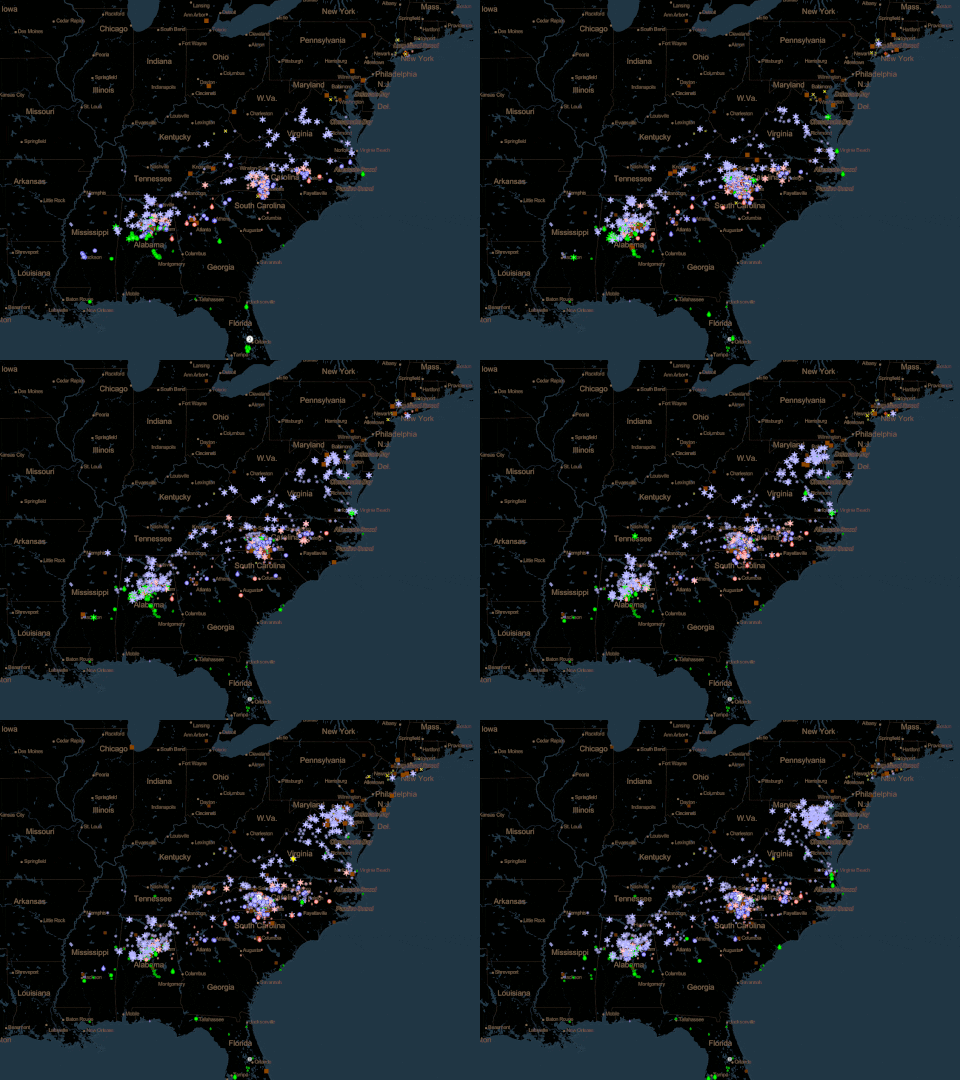
Hailed as a successful example of citizen science, weather observations collected from the public through NSSL's Meteorological Phenomena Identification Near the Ground project are used to improve understanding of how different types of precipitation can be identified by radar.
Improving the Science Behind Flood Forecasts & Warnings
ANCHOR
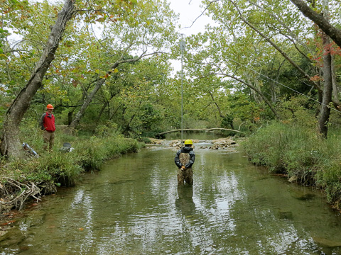
The Automated NonContact Hydrologic Observation in Rivers project aims to advance observations of the water cycle across the United States, to improve hydrologic forecasting in the collaboration with the United States Geological Survey, which operates and maintains more than 7000 streamgages across the U.S. These observations serve as a critical network to inform hydrologic simulations and help improve forecasts.


