CI-FLOW: Motivation & History
The fundamental motivation for CI-FLOW is the lack of accurate, high-resolution routine water level forecasts within a coastal watershed, where population centers are growing and economies are expanding.
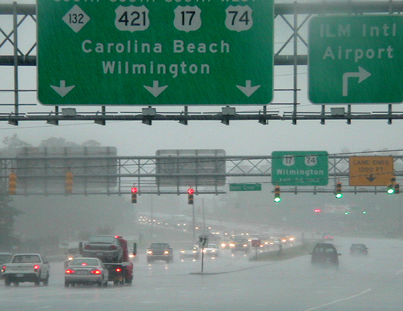
The NWS provides forecasts of river depth and flow across the U.S. Based on these forecasts, flood-control structures are operated to reduce damage to nearby communities. Emergency actions are taken at the state and community levels to take measures to protect life and property or evacuate. When hurricanes threaten coastal areas, flooding due to heavy rainfall and storm surge can overwhelm flood protection systems and impact access routes to safely evacuate.
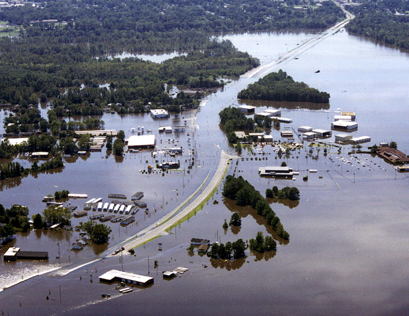
In North Carolina, the Tar–Pamlico and Neuse Rivers have a limited number of locations that receive NWS river depth and flow forecasts. Areas within the basins, including the coastal plain, do not receive any. The only water information available on a routine basis, and during most flooding events for a majority of residents located in these coastal watersheds, is the river flow data collected by the U.S. Geological Survey.
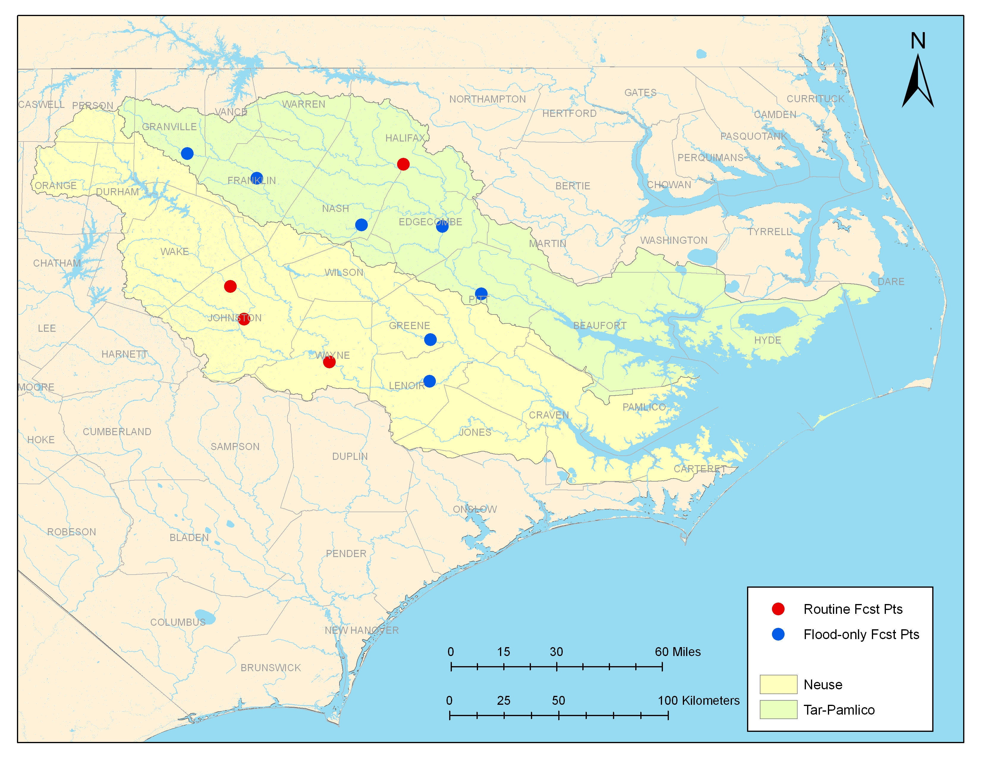
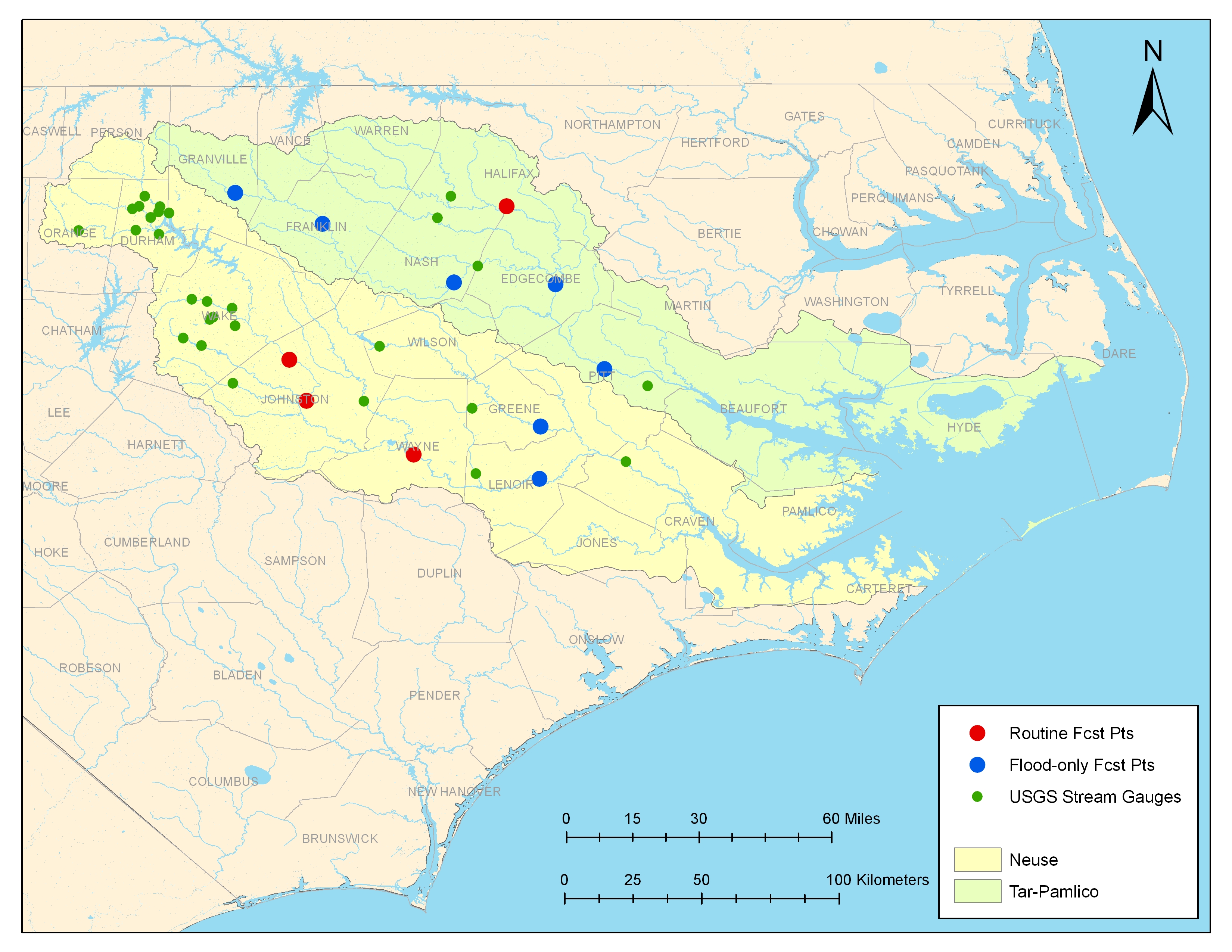
Before: NWS forecast points. After: NWS forecast points + USGS river flow data collection points.
History
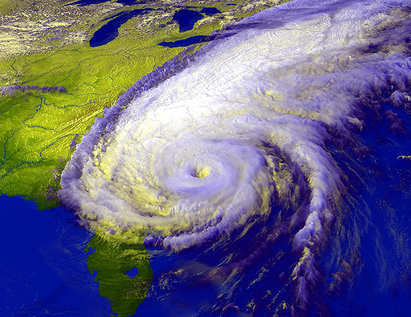
CI-FLOW emerged in response to a challenge by the Director of NOAA's Office of Oceanic and Atmospheric Research to form a strategic and sustainable relationship between a land-locked research laboratory [National Severe Storms Laboratory (NSSL) in Norman, OK] and Sea Grant to improve NOAA’s services to coastal residents. The first meeting, held in February 2000, with the memory of Hurricanes Dennis and Floyd still fresh, focused on incorporating NSSL expertise in advanced precipitation estimation and severe storm forecasting into Sea Grant research and outreach activities.
The CI-FLOW project was originally conceived as the Inland Flood Observation and Warning (IFLOW) project by the NSSL, National Sea Grant Office, University of Oklahoma, and Sea Grant programs of North Carolina, South Carolina, and Texas. IFLOW was established as a research and demonstration project to improve the accuracy of streamflow prediction during inland and coastal floods and flash floods for areas of North Carolina impacted by Hurricanes Dennis and Floyd (Tar-Pamlico and Neuse River basins).
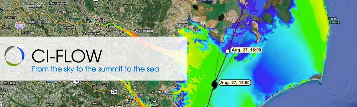
CI-FLOW built upon the research pathway initiated by IFLOW by developing an innovative real-time coupled modeling system that produces integrated water level simulations within tidally influenced watersheds.