
Severe Weather 101
Hail Forecasting
When forecasting hail, forecasters look for deep moist convection, in addition to these three basic ingredients:
- Adequate updraft to keep the hailstone aloft for an appropriate amount of time,
- Sufficient supercooled water near the hailstone to enable growth as it travels through an updraft, and
- A piece of ice, snow or dust for it to grow upon.
There is no clear distinction between storms that do and do not produce hailstones. Nearly all severe thunderstorms probably produce hail aloft, though it may melt before reaching the ground.
Multi-cell thunderstorms produce many hailstones, but they are not usually very large. In the life cycle of the multi-cell thunderstorm, the mature stage is relatively short so there is not much time for hailstones to grow.
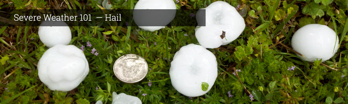
In contrast, supercell thunderstorms have sustained updrafts that support large hail formation by repeatedly lifting the hailstones into the very cold air at the top of the thunderstorm cloud where they can accumulate more layers of ice. In general, hail 2 inches (5 cm) or larger in diameter is associated with supercells.
In all cases, the hail falls when the thunderstorm's updraft can no longer support the weight of the ice. The stronger the updraft, the larger the hailstone can grow.
What we do: NSSL is developing techniques to use dual-polarized radar data in short-term computer forecast models to improve forecasts of hail and large hail. Dual polarized radar data gives meteorologists information on the size of hail particles within a storm, as well as the distribution of hail sizes.
NSSL is involved in detecting hail at altitude with balloon-borne videosondes that photograph precipitation particles falling through a lighted viewing chamber.
NSSL also uses radar wind data combined with other measured and calculated data to compute projected hailstone trajectories.
NSSL researchers make computer models of entire hailstorms (air currents, temperature, water substance, precipitation and hail contents and size distributions) via state-of-art cloud models.